
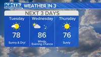

Wednesday welcomes back another chance for severe weather as temperatures rise and winds pick up through the afternoon.
The day will begin on the warmer side with highs rising into the mid 80s. Wind gusts reaching up to 30 mph will be possible during the afternoon, ahead of the stormy weather.

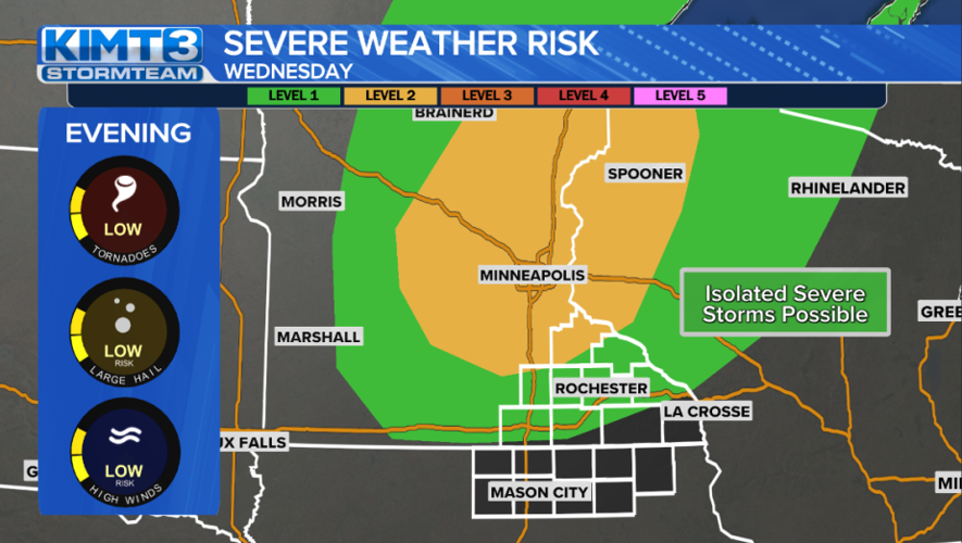
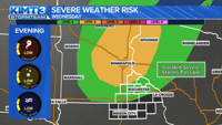
By the evening, the chance for a line of strong to severe storms develops and moves across Minnesota.
As of now, areas north of I-90 see the highest threat for severe development during this time. The Twin Cities currently sit in a Level 2 risk for severity, which means storms moving through the area will have a easier time becoming strong to severe.
Most of our area is sitting in a Level 1 risk, meaning chances for severity are more isolated but still possible.

If storms become severe, they could bring all forms of severe weather our way. This includes large hail, damaging wind gusts, and even a brief tornado or two.
There is still plenty of time before the severe weather may impact us and changes in the forecast are expected. Stay up to date with the latest forecast either here on KIMT.com, by watching our daily newscasts, or via the free KIMT StormTeam 3 Weather App.